Morskie Oko – a Tatra Mountains gem you must see
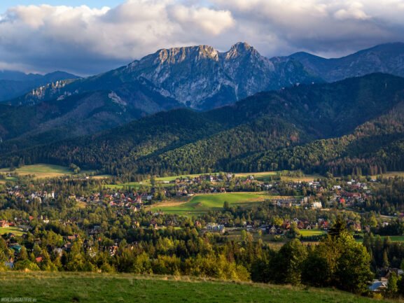
Morskie Oko is a true pearl of the Tatra National Park, visited by tens of thousands of tourists every year. Situated at the foot of Mięguszowieckie Peaks, with majestic rock formations in the background, the lake delights with both picturesque views and a rich history and legends. In this guide, you will find all the key information - from technical data and a description of the trail, through a section with practical tips, to ideas for SEO optimization of your entry about Morskie Oko.
Technical data
- Position: Rybi Potok Valley, Tatra National Park, Poland
- Height above sea level: 1 395 m Wikipedia
- Surface: 0,3493 km² (34,93 ha) Wikipedia
- Length: 0,862 km; width: 0,566 km Wikipedia
- Maximum depth: 50,8 m Wikipedia
Location and Directions
The trail starts in Palenica Białczańska (approx. 25 km from Zakopane), from where there is an asphalt road with a total length of 7.8 km in one direction. You can get to Palenica by car (parking with e-ticket system) or by bus from Zakopane.
Tourist trail
The route from Palenica Białczańska to the shelter on Morskie Oko is 7.8 km long and takes an average of 2 hours 20 minutes – it is covered entirely on an asphalt road, which makes it ideal for families and people of varying skill levels.
- Round trip distance: 15,6 km
- Approximate time: 4 hours 10 minutes
- Height differences: +499m / –499m
PTTK shelter on Morskie Oko
Schronisko PTTK stoi tuż nad brzegiem jeziora, na wysokości 1 410 m n.p.m. PTTK Morskie Oko Shelter. It consists of two parts – the New and Old Shelter – and offers accommodation, catering and toilets. It is a great place to rest after a hike, as well as a base for further mountain trails.
Attractions and legends
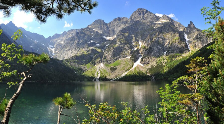
Although the name "Morskie Oko" sounds mysterious, it comes from the legend of an underground connection between the lake and the sea and from the German term "Meerauge" (Eye of the Sea) Wikipedia. In the old descriptions there were stories of shipwrecks seen in the depths and giant fish.
Ecosystem
The water of Morskie Oko is exceptionally clear, which allows you to see the fish living here - primarily the so-called "hungry trout" (trout), a species not often found in Tatra lakes. WikipediaThe spruce forests surrounding the lake and the area covered with dwarf pine create a unique microclimate and support rich fauna and flora.
Panorama
Z tafli jeziora roztacza się widok na najwyższy szczyt Tatr – Rysy (2 499 m), masyw Mięguszowieckich Szczytów Wielkich (2 438 m) oraz charakterystyczny, strzelisty Mnich (2 068 m) Wikipedia.
When to visit?
- Summer: long days and the height of the season – expect crowds.
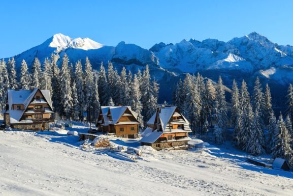
- Winter: a frozen lake and fairy-tale scenery, but watch out for a section with avalanche risk.
- Low season (spring/autumn): less tourist traffic, cooler nights – take thermal clothing.
Practical advice
- Reservation of e-tickets for parking: save time and avoid queues Mountains for you.
- Hiking footwear: even asphalt can be slippery in rain.
- Provisions and water: Gastronomy only at the shelter.
- Respect nature: do not litter, do not leave the designated trails, do not swim in the lake.
FAQ
How long does it take to get to Morskie Oko?
Approx. 2 hours 20 minutes one way (7.8 km).
Can I use a horse-drawn carriage?
Tak – konne zaprzęgi („fasiągi”) kursują z Palenicy Białczańskiej do Włosienicy (7 km), dalej trzeba iść piechotą.
How high is the shelter?
1 410 m n.p.m. PTTK Morskie Oko Shelter.